2018-09-28 11.43.30.jpg
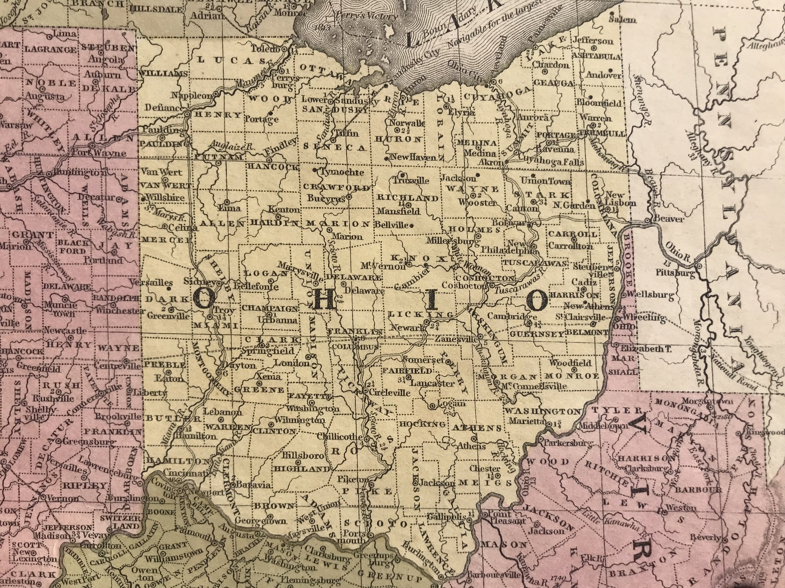
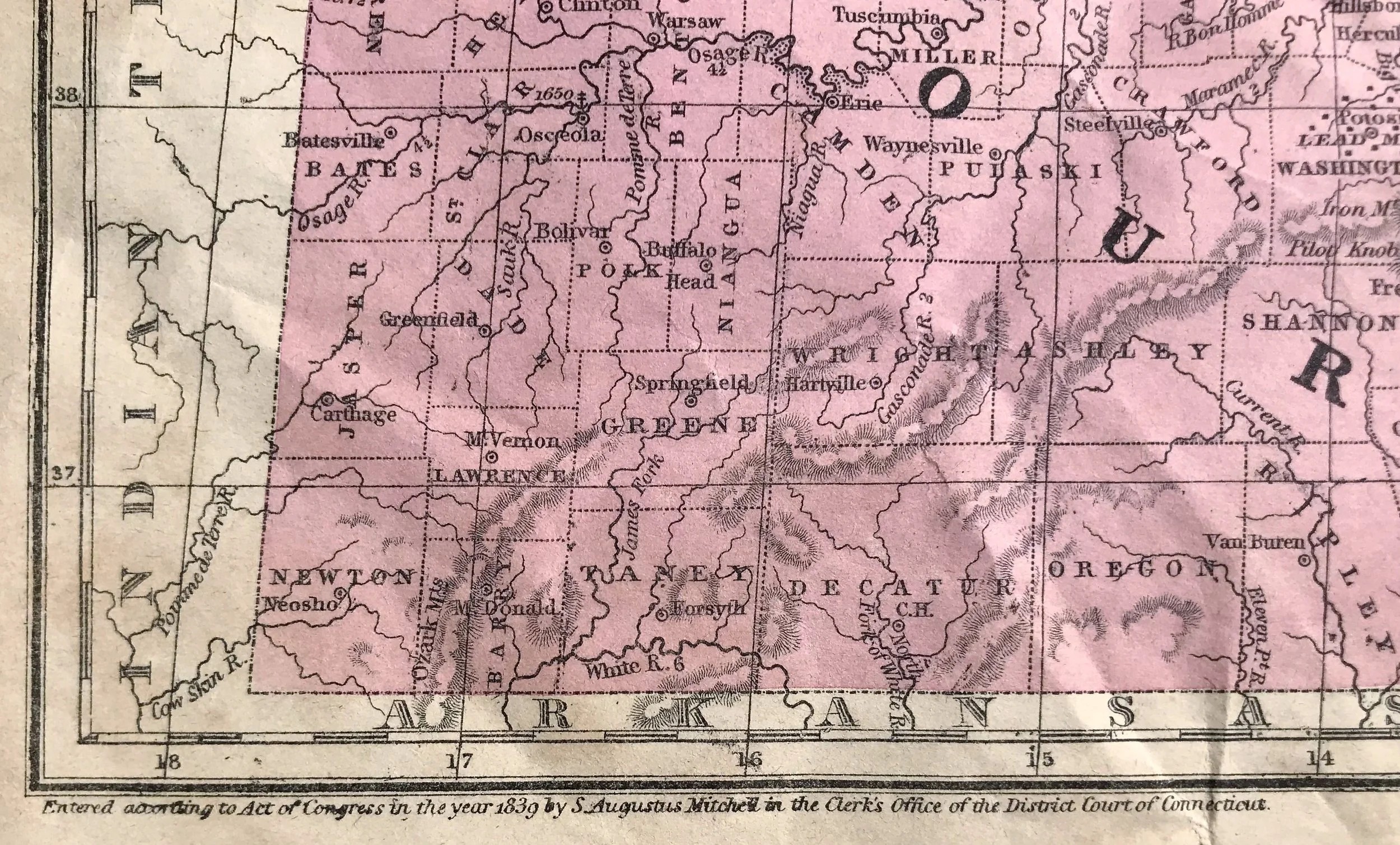
 “Map of The Chief Part of The Western States and Part of Virginia. Engraved to Illustrate Mitchell’s School and Family Geography. The Capitals of States are represented thus (symbol) County Towns (symbol) Rail Roads (symbol) Canals (symbol)   The fi
 State of Ohio, 1838.
 Cincinnati, Ohio in 1839. Population: 46,000 (6th most populated city in the United States)
 State of Michigan was only 2 years old at the time of this map’s publishing. Entering the Union as the 26th state. Detroit population: 9,000
 St. Louis, Missouri in 1839. Population: 16,000
 Central Indiana in 1839. Indianapolis population: 2,500
 The Chicagoland area in 1839. Population: 4,500.
2018-09-28 11.45.20.jpg
prev / next